Contour Lines and Codebase: The Ordnance Survey Model for Technical Documentation That Actually Works

In 1747, following the humiliation of the Jacobite rising and the government's belated recognition that it had no reliable maps of the Scottish Highlands, General William Roy began the Military Survey of Scotland. It was a project born of strategic necessity — the British Army had been outmanoeuvred in terrain it could not adequately represent on paper. From that military embarrassment emerged what would become the Ordnance Survey, formally established in 1791 and still operating from its Southampton headquarters today.
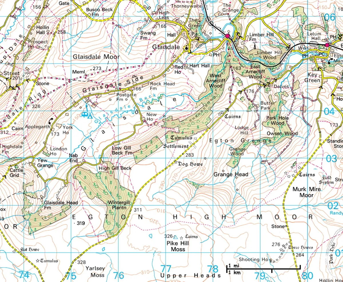 Photo: Ordnance Survey, via i.pinimg.com
 Photo: Scottish Highlands, via images.squarespace-cdn.com
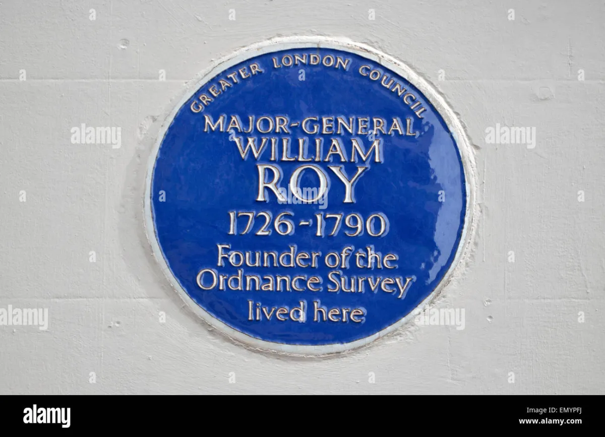 Photo: General William Roy, via c8.alamy.com
Over two and a half centuries, the Ordnance Survey has produced what is arguably the most comprehensively documented physical landscape in the world. Its methods — layered abstraction, continuous revision, standardised notation, and an unwavering commitment to accuracy over convenience — constitute a framework that the software industry has conspicuously failed to adopt for its own documentation practices. At Knight-Ware Labs, we believe this represents a significant and correctable oversight.
Why Most Technical Documentation Fails
The documentation problem in software is well understood, if poorly addressed. Codebases grow; documentation does not keep pace. API references are written once and left to decay. Architecture diagrams describe the system as it existed at the moment of their creation, diverging from reality with every subsequent deployment. Onboarding guides assume knowledge that new team members do not possess and omit context that experienced developers have long since internalised.
The underlying failure is not one of effort or intention — most development teams recognise the value of good documentation. It is a failure of method. Teams lack a coherent framework for deciding what to document, at what level of detail, for which audience, and how to maintain that documentation as the underlying system evolves.
The Ordnance Survey solved precisely this problem, for a domain of comparable complexity, more than two centuries ago.
The Principle of Layered Abstraction
The Survey's most instructive contribution to documentation practice is its disciplined use of scale. An Ordnance Survey map is not a single document — it is a family of documents, each representing the same terrain at a different level of abstraction. The 1:25,000 Explorer series renders individual field boundaries, footpaths, and building outlines. The 1:50,000 Landranger series abstracts these details away, emphasising roads, settlements, and topographic features. The 1:250,000 Road series removes still more granularity, prioritising navigational clarity over local detail.
Critically, these scales are not redundant. Each serves a distinct user need. The walker planning a cross-country route requires the Explorer's granularity. The motorist navigating between cities requires the Road series' clarity. Providing the wrong scale for the task produces confusion rather than guidance — a truth that any developer who has attempted to understand a complex system from a single, undifferentiated README file will recognise immediately.
Effective technical documentation must adopt the same discipline. An API reference is a 1:25,000 map: exhaustive, precise, and navigated by users who already understand the terrain and need specific local detail. A system architecture overview is a 1:250,000 map: it abstracts away implementation specifics to convey the structure of the whole. An onboarding guide is something closer to a journey planner — a curated path through the landscape, designed for someone encountering it for the first time.
The failure to distinguish between these scales produces documentation that serves no audience well. An architecture diagram cluttered with implementation details obscures the structural relationships it is meant to illuminate. An API reference that attempts to explain the system's overall design philosophy alongside endpoint specifications satisfies neither the architect nor the integrating developer.
Standardised Notation and the Legend
Every Ordnance Survey map carries a legend — a standardised key that defines the meaning of every symbol, colour, and line weight used across the entire map series. A blue line is always a watercourse. A dotted red boundary always denotes a national park. The notation is consistent across decades and across the entire country, such that a user familiar with one map can navigate any other without relearning the visual language.
Technical documentation teams rarely establish equivalent standards. Diagrams use inconsistent shapes for services, databases, and external dependencies. Architecture documents from different teams within the same organisation employ incompatible notations. The result is a portfolio of documentation that is internally inconsistent and therefore cognitively expensive to consume.
The remedy is the adoption of standardised notation frameworks — of which several exist for software architecture, most notably the C4 model developed by Simon Brown. Like the Ordnance Survey's legend, C4 defines a consistent visual vocabulary for representing systems at multiple scales: Context, Container, Component, and Code. A team that commits to C4 notation produces diagrams that any other team within the organisation can interpret without prior briefing.
The principle extends beyond diagrams. Consistent terminology, defined in a maintained glossary, performs the same function for written documentation. When 'service', 'module', 'component', and 'application' are used interchangeably across a documentation portfolio, readers expend cognitive effort resolving ambiguity rather than absorbing information.
Continuous Revision and the Living Document
The Ordnance Survey does not publish a map and consider the work complete. Britain's physical landscape changes continuously — new roads are constructed, buildings are demolished, field boundaries are altered, coastal erosion reshapes shorelines. The Survey maintains a programme of continuous revision, with different categories of change triggering updates on different timescales. Major road changes are incorporated rapidly; minor path alterations follow a slower cycle.
This is the model that technical documentation teams must internalise. Documentation is not a deliverable — it is a service. It requires maintenance, ownership, and a defined process for incorporating change. The question is not whether documentation will become outdated, but how quickly the team will detect and correct the divergence between document and reality.
Practical implementation requires two things. First, documentation must have named owners — individuals or teams accountable for its accuracy, in the same way that the Ordnance Survey assigns surveyors to specific geographic regions. Second, the process of updating documentation must be embedded in the development workflow rather than treated as a separate activity. Pull request templates that require documentation updates alongside code changes, automated checks that flag API reference files not touched since the corresponding endpoint was last modified — these are the mechanisms by which the Survey's revision discipline is translated into software practice.
Authority Without Finality
Perhaps the most important principle the Ordnance Survey embodies is the combination of authority and humility. Its maps are the definitive reference for the terrain they represent — planners, emergency services, and the military rely upon them without question. Yet the Survey simultaneously acknowledges that every map is a snapshot of a changing reality, subject to revision as new survey data becomes available.
This is the standard to which technical documentation should aspire: authoritative in the sense that it is the agreed single source of truth for the team, humble in the sense that it is explicitly provisional and subject to correction. Documentation that is treated as permanently settled becomes dangerous, because teams eventually stop questioning it even when reality has moved on. Documentation that is treated as perpetually uncertain provides no stable foundation.
The Survey resolves this tension through edition dating and revision cycles — readers know when a map was last updated and can assess its currency accordingly. Software documentation should adopt the same transparency: publication dates, revision histories, and explicit statements of the version of the system being described.
From Southampton to the Sprint Board
The Ordnance Survey's operational headquarters in Southampton houses one of the most sophisticated geospatial data operations in the world. Its processes are the product of two and a half centuries of iterative refinement, applied to the problem of representing complex, changing reality in a form that is accurate, accessible, and useful.
Software development teams do not have two and a half centuries. They do, however, have the Survey's example. Layered abstraction, standardised notation, continuous revision, named ownership, and the discipline of authority without finality — these principles are available to any team willing to apply them. The terrain of a modern software system is no less complex than the British countryside. It deserves to be mapped with equivalent care.